
Bell Canyon Hike (End)
Total Distance: 2.74 km (1.7 mi)Total Time: 1:06:01
Moving Time: 34:32
Average Speed: 2.49 km/h (1.5 mi/h)
Average Moving Speed: 4.75 km/h (3.0 mi/h)
Max Speed: 9.18 km/h (5.7 mi/h)
Min Elevation: 1492 m (4895 ft)
Max Elevation: 1696 m (5566 ft)
Elevation Gain: 251 m (825 ft)
View Bell Canyon Hike #2 in a larger map


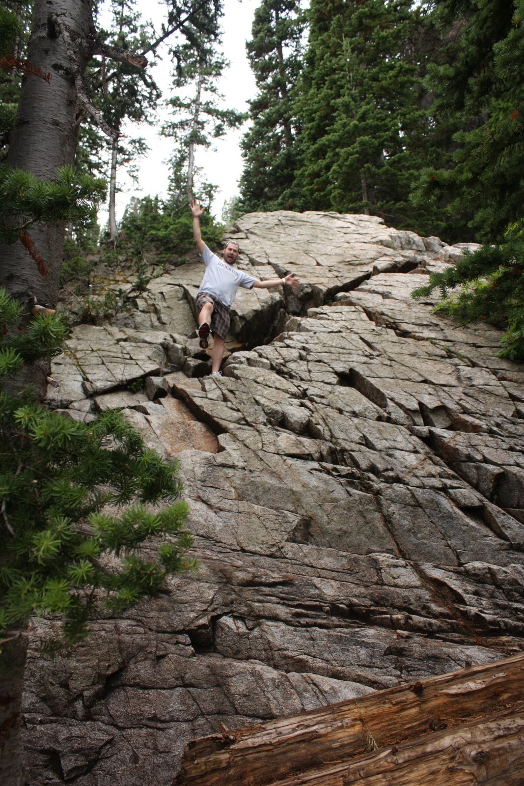
Hike #2 was the Silver Lake/ Lake Solitude Trail. It's up Big Cottonwood Canyon. You park at the Solitude cross-country skiing area and just follow the signs. This one is very very hard, but worth it. It's a much longer hike, but the views are just great. Lots of squirrels!
Total Distance: 8.94 km (5.6 mi)
Total Time: 2:22:11
Moving Time: 1:30:41
Average Speed: 3.77 km/h (2.3 mi/h)
Average Moving Speed: 5.92 km/h (3.7 mi/h)
Max Speed: 9.00 km/h (5.6 mi/h)
Min Elevation: 2640 m (8661 ft)
Max Elevation: 2922 m (9588 ft)
Elevation Gain: 543 m (1781 ft)
View Silver Lake/ Solitude Trail in a larger map


I am jealous! We have bunny hills here. No mountains. :(
ReplyDeleteI can't believe your phone tells you all of that. Crazy!
Wow. What beautiful scenery. I'm jealous too. If I didn't live in a steam bath I'd do something outside, but until things cool off here I'll live vicariously through you two...
ReplyDelete